Planning Overlays in the Barossa: What They Mean for Your Development
Navigating the Barossa Council’s Overlay Requirements
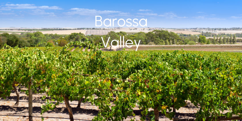
The Barossa Valley is one of South Australia’s most valued cultural and agricultural regions, renowned for its vineyards, rural landscapes, and historic townships. Because of its significance, the region is subject to multiple planning overlays under the Planning and Design Code, which work alongside zoning to regulate land use, development, and subdivision. These overlays are not just technical layers, they have real implications for what you can do with your land, and whether your development will be approved.
What are Planning Overlays?
Planning overlays are regulatory instruments that apply additional requirements to specific areas within a planning zone. They are designed to address particular environmental, social, or economic concerns that may not be adequately covered by the base zoning regulations.
Character Preservation District Overlay
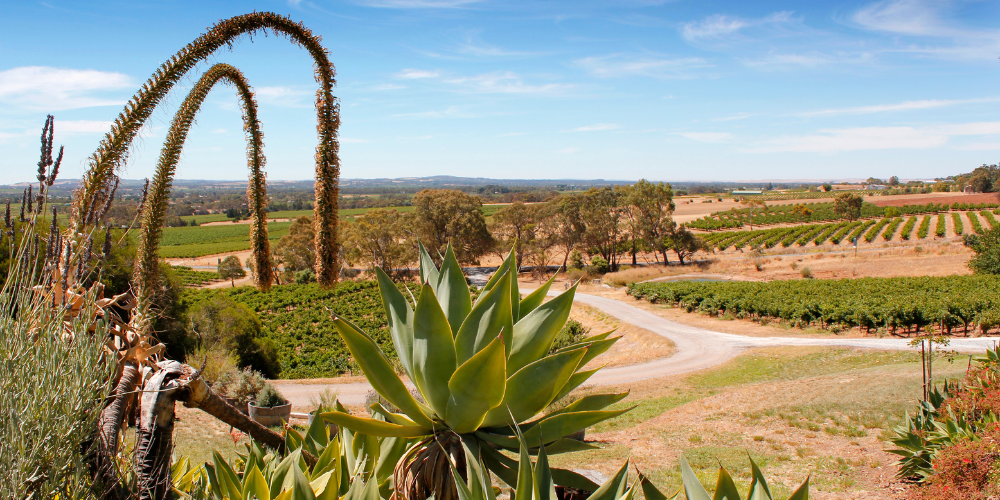
One of the most important overlays is the Character Preservation District Overlay, which gives statutory effect to the Character Preservation (Barossa Valley) Act 2012. This overlay ensures the long-term protection of the region’s rural character, scenic beauty, and agricultural integrity. It significantly restricts subdivision and residential development outside townships, limiting land use to primary production, low-impact tourism, and compatible rural activities. If you are proposing a new dwelling or tourism use outside a township, you’ll need to demonstrate that it directly supports the agricultural use of the land and doesn’t compromise the region’s landscape or values.

Rural Zone and Limited Land Division Overlay
In the Barossa Council rural zones, minimum site sizes for land division typically range from 16 hectares up to 900 hectares, depending on the specific location. The Limited Land Division Overlay further strengthens these controls by restricting subdivision where it would fragment land necessary for viable agricultural production. Even if a property is large and the zoning allows subdivision, applications may be refused under this overlay to ensure land parcels remain of sufficient size to maintain sustainable farming and protect the rural landscape.
State Significant Native Vegetation Area Overlay
Environmental considerations also play a major role in shaping what is permitted. The State Significant Native Vegetation Area Overlay protects high-value native vegetation across the region. Development in these areas must avoid clearance wherever possible, and may require a Native Vegetation Management Plan. Clearing vegetation can trigger the need for offsets under the Native Vegetation Act 1991, adding cost, time, and complexity to the process.
State Heritage Places Overlay / Local Heritage Places Overlay / Heritage Adjacency Overlay
For landowners in or near heritage precincts, the State Heritage Places Overlay, Local Heritage Places Overlay, and Heritage Adjacency Overlay apply. These overlays protect historic buildings, streetscapes, and townships such as Angaston, Tanunda, and Nuriootpa. Any works to heritage-listed buildings, or new development nearby, must be sensitive to existing character, scale, materials, and streetscape patterns. Modifications often require detailed design responses, heritage statements, and consultation with heritage professionals.
Significant Landscape Protection Overlay
In areas with scenic significance, the Significant Landscape Protection Overlay applies. This overlay requires buildings to be designed and sited so they don’t visually dominate the landscape. Structures in visible or elevated locations may need to be low-profile, use muted colours and non-reflective materials, and include landscape screening. Development that creates visual clutter or intrudes into open rural views is unlikely to be supported without clear mitigation.
Water Protection Overlay and Flooding Overlays
Water-related overlays such as the Water Protection Overlay and Flooding Overlays aim to safeguard the region’s water quality and manage flood risks. In sensitive recharge areas, development that may impact groundwater may be restricted. In flood-prone areas, new dwellings may need to be raised to specified levels and stormwater carefully managed. Supporting documents, may be required as part of the planning application.
Hazard (Bushfire Risk) Overlay
The Hazards (Bushfire Risk) Overlay applies to many parts of the Barossa region and plays a critical role in assessing development within bushfire-prone areas. This overlay requires that new land divisions and dwellings demonstrate a high level of bushfire resilience. For subdivisions, this often means ensuring that all proposed allotments have safe and legal access, adequate defendable space, and can accommodate buildings with appropriate bushfire setbacks and construction standards. In high or very high bushfire risk areas, even minor developments may be subject to detailed bushfire assessments. The overlay aims to minimise risk to life and property, and can significantly constrain subdivision or intensification of land use in affected rural and peri-urban areas.
Overall, development in the Barossa is not just about zoning. It is shaped by a complex web of overlays that must be understood and addressed from the outset. Many sites are affected by multiple overlays simultaneously, and failing to comply with one can result in delays, refusals, or costly redesigns. Whether you’re considering a subdivision, new home, cellar door, or tourism business, it’s crucial to understand these constraints early.
Need Assistance with Your Barossa Planning Application?
At our consultancy, we specialise in guiding landowners, developers, and investors through Barossa’s planning framework. We provide tailored overlay assessments, site-specific planning advice, and full application management services to help you achieve compliant and viable outcomes. If you’re unsure how overlays affect your property or need help getting a project through council, get in touch with us today.
Read about one of our recent tourist accomodation approvals in the Barossa Valley.
To follow along and find out more about planning issues, hear client stories or learn more about the development process make sure to read our online stories and follow any of our social media channels to stay updated. We are waiting for your call for assistance on any project requiring a planning and development consultant.